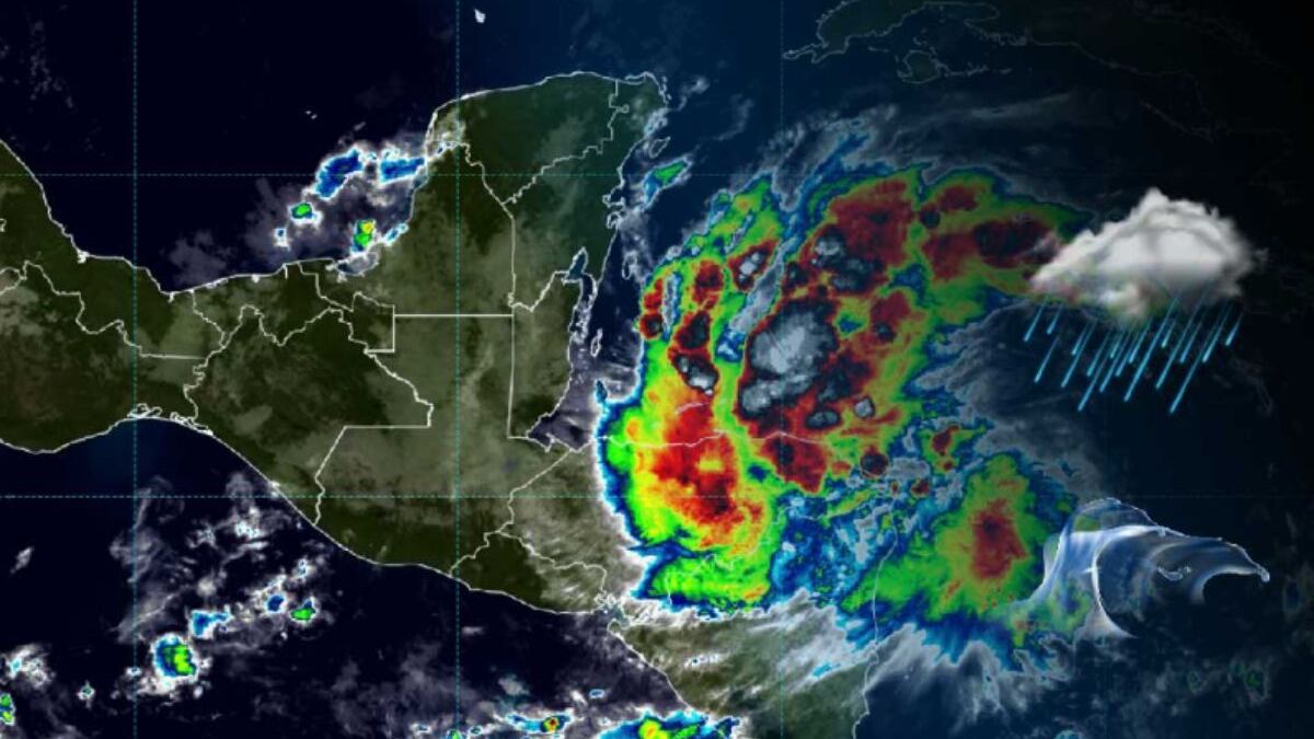
The tropical storm Sara, formed this Thursday in the Caribbean, could intensify rapidly and pose a serious threat to Florida next week. The National Hurricane Center (NHC) warned that current conditions in the region are favorable for Sara to become a hurricane in the coming days.
It is possible that the storm reaches category 3 before reaching the Florida coast. In its latest report, the NHC highlighted that Sara is already generating heavy rains in parts of Central America, with a high risk of floods and landslides in Honduras, El Salvador, and Nicaragua.
PUBLICIDAD
Honduras, El Salvador, and Nicaragua are beginning to feel the effects of Sara and Florida could be their next destination.
In the affected regions so far, authorities have alerted the population about possible overflows and landslides that could affect rural and mountain communities until the beginning of next week. Currently, the storm is located northeast of the border between Nicaragua and Honduras.
As Sara moves towards the northwest, meteorologists estimate that the system could intensify as it crosses the Caribbean, fueled by warm waters and a low wind shear, two key factors for cyclone development at this time of year. Although it is still early to predict the exact path Sara will take, some models suggest that the storm could reach the Gulf of Mexico.
Likewise, it is estimated that it could reach the west coast of Florida by the middle of next week. The at-risk areas include the southern part of the state, the Tampa Bay region, and other Gulf areas, where authorities have urged the population to stay alert and follow forecast updates.
The Florida government is preparing for Sara's arrival
This potential impact comes just weeks after Hurricanes Helene and Milton caused devastation in Florida and the East Coast of the United States, leaving hundreds of victims and billions of dollars in material damages. Since 2022, Florida has been hit by at least five hurricanes.
In this situation, local authorities and the NHC recommend Florida residents to take precautions and prepare for the possible arrival of Sara. As the system approaches, it is expected that information about its trajectory and intensity will be refined, allowing for better planning of evacuations and other safety measures.